Resources
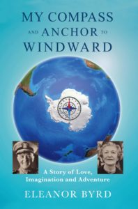
MY COMPASS AND ANCHOR TO WINDWARD
A Story of Love, Imagination and Adventure
by Eleanor Byrd
“My Compass and Anchor to Windward is the real-life story of Admiral Richard E. Byrd and his wife Marie Ames from the time they met at 8-years old until he died in 1957 recounted by their granddaughter through a collection of private letters, family stories, and archives of information.”
PURCHASE HERE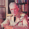
Admiral Richard E. Byrd Home Page

Antarctic Treaty
Antarctic Artist and Writers Collective

Amundsen Scott South Pole Station
Byrd Polar Research Center at Ohio State University

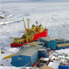
McMurdo Station on Ross Island, Antarctica
National Science Foundation – Office of Polar Programs
Palmer Station, Antarctic Peninsula
Point Barrow Observatory, Point Barrow, Alaska

Race to the Top: Sheldon Bart’s presentation to the Virginia Historical Society about Richard Byrd’s flight to the North Pole in 1926.
Scientific Committee on Antarctic Research
Summit Station, Greenland

Have a laugh!